The two islands St. Marie (in Malagasy Nosy Boraha) and Nosy Nato are located at the East coast of Madagascar and belong to the province of Toamasina. Especially Nosy Boraha is, besides Nosy Be, one of the most visited islands of Madagascar and has a good infrastructure. St. Marie is relatively large, around 50 km long, above two to seven …
LesenAluminium foundries of Ambatolampy
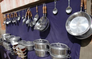
If you take the RN7 from Antananarivo towards Antsirabe, you will reach the small town of Ambatolampy after about 80 km and almost two hours. The name means “city of rocks”. The city belongs to the Vakinankaratra region. With all surrounding hut villages Ambatolampy has estimated over 25,000 inhabitants. They live mainly from rice cultivation, but now also grow vegetables …
LesenAnja Community Reserve
Anja Community Reserve: The reserve is named after the Anja Miray Association, its nickname is “Anja Park”. Because of its rocky character, the reserve is also known as “Rocky Park”. Location: About 13 km south of Ambalavao is the Anja Community Reserve in the Haute-Matsiatra region. It can be easily reached by car via the RN7, it is only half …
LesenThe old Baobab of Mahajanga
Mahajanga (formerly French Majunga) is the capital of the province of the same name in northwestern Madagascar and with more than 250,000 inhabitants one of the largest cities in Madagascar. It is located directly at the entrance of Bombetoka Bay. The oldest Baobab in Madagascar stands directly on the coast, just a few meters from the water. Legend has it …
LesenRiver cruise on the Tsiribinha
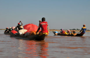
Tsiribinha is a quiet river that flows from northeastern Madagascar across the country until it flows south of Morondava into the Mozambique Canal. Its red colour comes from the sand of the same colour, which is carried by the current. From Miandrivazo, a small town about 200 km west of Antsirabe, you can do very nice dugout tours to Antsiraraka …
LesenProtected area Loky Manambato
Loky Manambato: This reserve is named after the two rivers that flow through it: Loky and Manambato. It is home to the last lemurs of its kind. In this remote part of Madagascar, you are rewarded with fantastic photo opportunities and unique experiences that may not be possible anymore in a few years. Location: Daraina, a small village directly within …
LesenThe big market of Toamasina
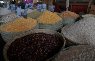
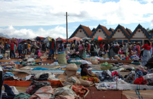
Toamasina (Tamatave) is the largest city on Madagascar’s east coast, and is home to the country’s largest port. This makes it the largest transshipment centre for spices, food and everyday goods in the area. The city has two markets, the small market (Bazary Kely) directly at the station and the large market (Bazary Be) between Rue Admiral Billard and Rue …
LesenCanal des Pangalanes
Canal des Pangalanes is a river of about 645 km length. The channel runs parallel to Madagascar’s east coast, sometimes only few hundred meters away from the Indian ocean. Already at the times of the Merina kings and queens in 16th century, waterways were built to link regions isolated from each other. The overland route was weary during these times, …
LesenAmbalavao
Ambalavao is a town about 50 km away from Fianarantsoa on the edge of the southern highlands. It is located directly on the RN7 and has about 35,000 inhabitants. A landmark of the city is the Zebu (humpback cattle), which can be traced back to Madagascar’s largest cattle market. People from all regions of the country bring their zebus here …
LesenThe royal hill of Ambohimanga
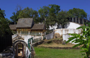
About 25 kilometres northeast of Antananarivo in the central highlands of Madagascar lays the royal hill of Ambohimanga. The road there is relatively good, but due to the very chaotic and dense traffic in Tana, a drive to Ambohimanga alone can easily take one to three hours depending on chosen day time. If you want to visit Ambohimanga, it is …
Lesen MADAMAGAZINE Your Magazine about Madagascar
